By Leslee Jaquette
Armed with a new REI backpacking pack that actually fits, I’m ready to venture out on more Northwest overnight explorations. One hiking destination that totally intrigues me is so new it’s not even on my Atlas (circa 2002).
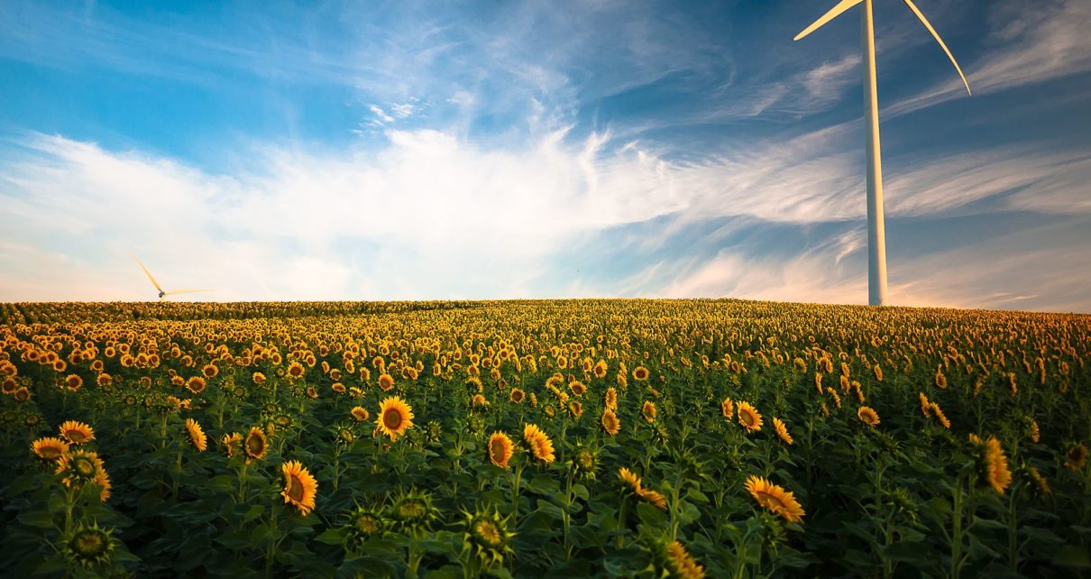
I’m talking about Steens Mountain Wilderness area in Southeast Oregon not too far from Frenchglen off Highway 205. According to the Bureau of Land Management (BLM) website, it was designated in 2000 and it now has over 170,200 acres. Steens Mountain is located in Oregon’s high desert is one of the crown jewels of the state’s wildlands. It is some of the wildest and most remote land left in Oregon.
Opportunities for recreation on Steens Mountain are as plentiful as they are widespread. Popular activities include camping, picnicking, sightseeing, and exploring the open country on foot and horseback. Hiking is available in all areas and trailheads exist near Page Springs and South Steens Campgrounds, as well as Wildhorse Overlook and Pike Creek. Visitors photograph landscapes, wildlife and wildflowers, and catch redband trout in the Donner und Blitzen River. Others enjoy hunting for wild game and visiting special places, cross-country skiing, and snowshoeing.
One description says, “The 52-mile Steens Mountain Backcountry Byway provides access to four campgrounds and the views from Kiger Gorge, East Rim, Big Indian Gorge, Wildhorse and Little Blitzen Gorge overlooks are not to be missed!”
Of course, it could easily be missed because it is soo off the beaten path. I’m thinking an early fall trip might be perfect before too much snow falls and the high desert is still warm but not hot.
Writers note that Steens has part of the national recreation Desert Trail, the southeast Oregon mountain range is one of the most scenic places to hike in the Great Basin. The John Scharff Trail drops 5,000 feet, covering 26 miles from near the summit above Big Indian Gorge, down the Little Blitzen Canyon and on down to Page Springs campground near Frenchglen. Backpackers need to arrange a car shuttle for this one.
Another three-day circuit begins at the summit parking area, drops down Wildhorse Canyon, climbs back up Little Wildhorse Canyon and rejoins the rim at the Big Indian Gorge cirque. Maps: Desert Trail Guide, Steens Mountain from Alvord Desert and to Page Springs. 7.5-minute topo maps are also recommended.
The BLM advises visitors to be aware of:
Limited water sources – carry enough water and food to last your entire trip, and do not drink from untested water sources.
Ticks, mosquitoes, and rattlesnakes in certain areas during spring and summer.
Weather conditions – the mountain’s high elevation can cause rapid temperature changes. Blustery, 100-degree days are common and snow can fall year-round. Be prepared for sudden lightning storms, snow, rain, and high winds.
Long distances between services – including gas stations, phones, and cell phone reception. Let someone at home know where you plan to go and when you plan to return. Phone service should not be relied on for emergency communication. Always start your trip with a full tank of fuel and call ahead for current information about fuel availability in the Steens Mountain area. Fuel may be available in the towns of Fields, Frenchglen, Crane, or the Narrows.
Rough terrain – deep canyons and rocky slopes are a natural party of the rugged mountain territory. Elevation can change from less than 4,000 feet to over 9,000 feet in just a few miles. We recommend high clearance or 4×4 vehicles for primitive roads, including the steep and rocky portion of the Steens Mountain Loop Road near South Steens Campground. The rest of the Steens Mountain Loop Road can accommodate passenger cars at lower speeds. High quality tires are a must for all vehicles, even when traveling on maintained routes.
Livestock and wildlife on roadways – much of southeast Oregon is open range. Be alert, drive with caution, and plan to share roadways with cattle, deer, elk, antelope, wild horses, and rabbits!
Getting lost – the remote nature and vast landscape of the Steens Mountain area may leave even the most experienced traveler directionally confused or just plain lost. Traveling with a current map of the area is essential! Don’t hesitate to talk to locals – area landowners and Federal employees are generally visible in the Steens Mountain area. We welcome your visit and have information to help you.
Directions to Steens Mountain
From Burns, take State Highway 78 southeast for approximately 2 miles. Then turn right onto State Highway 205 and travel south for 60 miles to Frenchglen. Just past Frenchglen, turn left onto the Steens Mountain Loop Road.
Does Steen Mountain Wilderness intrigue you, too? Have you been there?